Detail from a
hand-drawn panoramic map of Taunton dated 1875. This depicts the Taunton
Green in the center, with the Bristol County Superior Court buildings complex to the
upper right of center. Somerset avenue comes into the green from the
bottom left and becomes Broadway straight past the Green (modern-day Rt.
138). Winthrop street comes in from the left center and becomes Main street straight past the Green
going out to the bottom right corner (modern-day Rt. 44). Court street
goes from the green out to top center (modern-day Rt. 140).

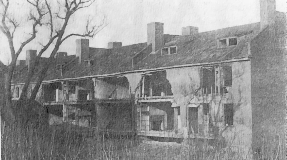
The British Block:
Ruins of the old British Block at 33 Washington Street were torn down in
1910 but some foundations still remain near the Mill Pond Apartments. The
mill housing was first home to British workers brought over from England
to work in Taunton's factories. Later, Irish Immigrants, some of whom
worked at the Taunton Print Works, moved in. An epidemic of cholera that
swept through the region in 1847 killed many of the residents there.
(Photo Courtesy of the Old Colony Historical Society; from the Taunton
Daily Gazette, 26 June 1985.)

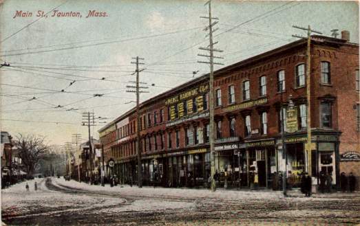
A view of Main
street, dated 1907.
 Irish
Irish 
![]()